Geotab
Cloud fleet telematics platform for vehicle tracking, safety, compliance, and operations analytics. Geotab combines GO hardware, MyGeotab software, marketplace integrations, and developer APIs for commercial and public sector fleets.
Geotab is a commercial fleet telematics platform that combines plug-in GO tracking devices, the MyGeotab SaaS application, and a large partner ecosystem for cameras, asset trackers, analytics, and compliance workflows. It is built for fleets that need one operational layer for vehicle visibility, driver behavior, maintenance signals, routing context, and policy reporting across mixed vehicle types.
What it does
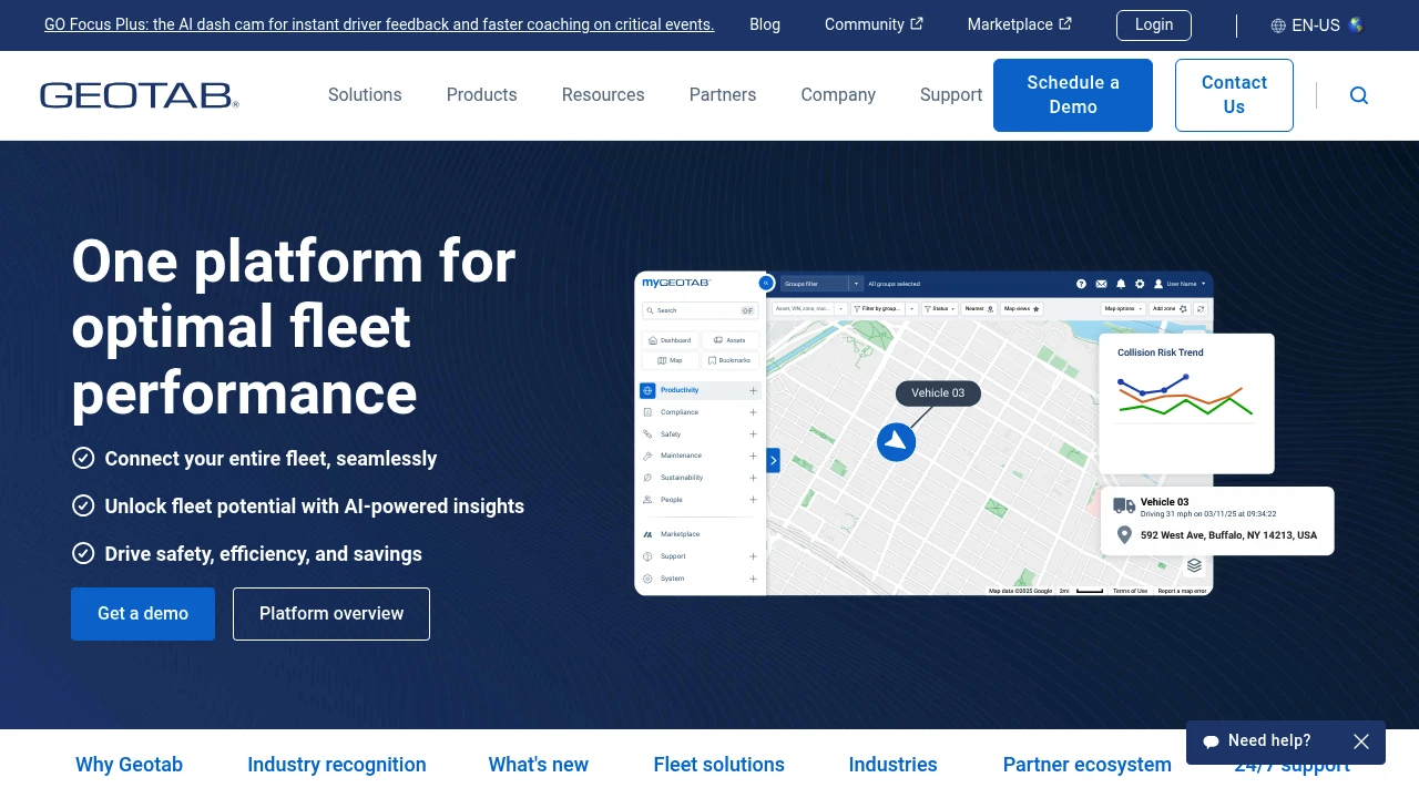
Geotab captures vehicle and driver data from GO devices and connected OEM sources, then exposes it through MyGeotab dashboards, reports, alerts, and APIs. The platform supports fleet tracking, safety monitoring, maintenance planning, ELD workflows, routing support, and EV transition analysis. Its marketplace and SDK also let partners embed MyGeotab, build add-ins, and connect third-party cameras, sensors, payment tools, and analytics products.
How it fits in a stack
Geotab typically sits at the fleet telematics layer between in-vehicle hardware and the business systems that consume transportation data. Operations teams use it directly for dispatch, compliance, safety, and utilization reporting, while partners and customers connect downstream systems through the MyGeotab SDK, data feeds, add-ins, and marketplace integrations.
Why teams choose it
The platform's main differentiator is breadth: Geotab combines first-party telematics hardware, OEM connectivity, monthly SaaS releases, and a large integration marketplace in one commercial stack. Official materials highlight more than 430 marketplace apps, 37+ OEM integrations, a partner-led deployment model, and certifications such as FedRAMP authorization, ISO/IEC 27001:2022, and SOC 2 Type 2. For organizations that need a configurable but still vendor-supported telematics system, that combination lowers the amount of custom integration work required to get from raw vehicle data to operational workflows.
Limitations
- Geotab is proprietary commercial software, so teams do not get source access or the self-hosting flexibility available with open-source fleet data stacks.
- Many advanced workflows depend on partner products, OEM programs, or marketplace add-ons, which can increase procurement complexity and total cost beyond the core subscription.
- The platform is optimized for transportation and fleet operations rather than factory-floor OT use cases, so it is adjacent to manufacturing operations rather than a native MES, SCADA, or industrial data platform.
- Rich integrations and hardware support create a broad footprint, but that also means onboarding can involve reseller coordination, device choices, and region-specific rollout planning.
Geotab's official competitor positioning and ABI vendor comparison materials place Motive in the same commercial fleet telematics buying set. Both platforms target vehicle tracking, safety, compliance, and operations visibility for mixed commercial fleets.
Geotab and Verizon Connect both sell GPS fleet tracking, compliance, dispatch, and telematics analytics to transportation and field-service operators. Official Geotab comparison materials position Verizon Connect among the major alternatives evaluated by fleet buyers.
- Kind
- Software
- Vendor
- Geotab
- License
- Proprietary
- Website
- www.geotab.com ↗

Similar to Geotab